
If you are in Maryland and are looking for a great hike, Cascade Falls is a great choice. It’s gorgeous, easy to get to, and perfect for the whole entire family.
With a moderately long walk, a gorgeous waterfall, and some creek wading, this is a fantastic choice for families or even for you to do on your own. It’s a decent length, but fairly easy, so no matter what your skills and abilities are, you can easily complete this hike.
We are going to cover where it is and how to get there, its length and difficulty, what to bring along with you, and the ins and outs of the trail. Let’s get started.
Where Exactly Is Cascade Falls?

So first let’s talk about how you need to get there. The trip is fairly simple, and if you’re already in Maryland it’s a short and easy path to get to the trail.
Get on I-97 North from Cecil Avenue and MD-3 North. Then continue on I-97 North, and then proceed to take MD-295 South to US-1 South/Washington Boulevard in Arbutus.
Take exit 3 from I-195 West. After that, take Park Entrance Road to River Road in Elkridge.
Length and Difficulty

Like we talked about before, this hike is fairly simple and perfect for anyone of any athletic ability. The trail is 2.1 miles long and does not get too steep throughout the whole trail.
It is extremely family-friendly, and you get to see your first waterfall sighting after only being on the trail for 1000 feet. As you continue, you are also able to walk and wade in the shallow creeks along the way.
There will be a point where you reach a rock staircase, and you can either turn around there and go back, or continue on the two mile trek.
Once you finish back at the parking lot, you can finish off the hike with a refreshing swim in the adjacent Patapsco River.
What to Pack
Next up, we are going to discuss what you should bring with you if you are planning to hike Cascade Falls.
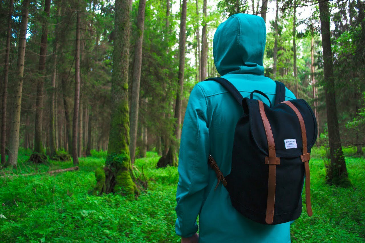
You will need walking shoes and water shoes, depending on whether or not you want to take a swim while you hike. If you are planning to swim, you should also bring a towel and swimsuit as well.
Make sure you bring sunscreen and a hat as well, depending on the weather you will need to make sure your skin is covered from the harmful sun rays.
Lastly, make sure you bring two or three dollars for the parking fee. If you do forget cash, no need to worry – they accept cards as well.
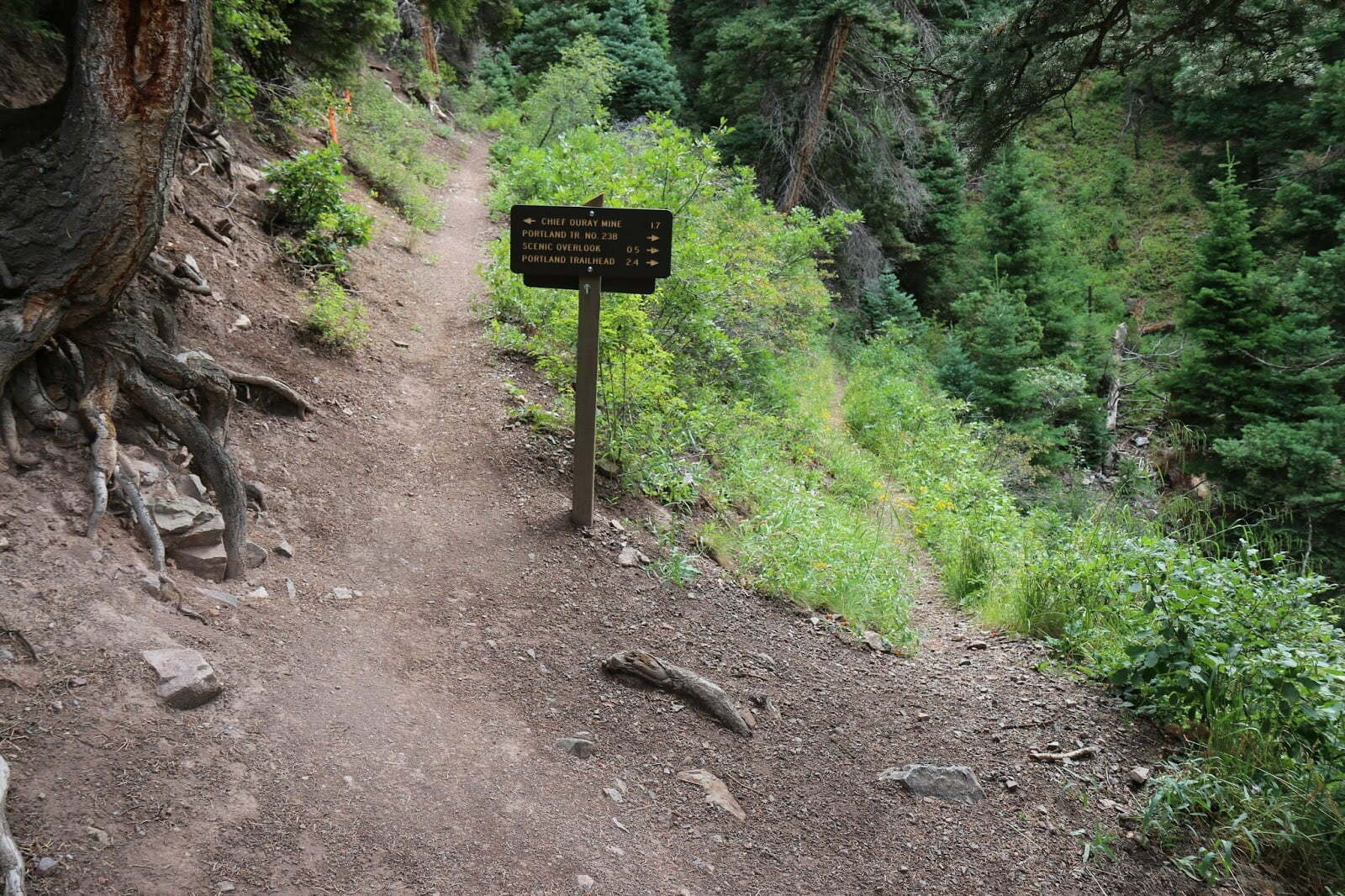
The Trail Waypoints
Now let’s take a look at what you will experience on the trail throughout the hike.
Route 1
You start by heading southeast on Anthony Creek Trail, then staying straight on the three-pronged fork you encounter at Crib Gap Trail. When you reach another Y in the trail, stay left.
You will reach the Anthony Creek Campsite, and soon after that you will need to turn right onto Tonto Bote Mountain Trail. Then turn right onto the Appalachian Trail after looking to the left for some beautiful views of the Spence Field Bald.
Stay on the Appalachian, head to the branch of Gunna Greek. If you want to spread the hike over two days, you can turn left and spend the night at the shelter there.
From the Spence Field Shelter, return to Waypoint 7 and then head West. After that, take a right onto Russell Field Trail.
From there you will cross the Ledbetter Ridge backcountry campsite, which can provide you with clean water if you need it at that point. The trail then descends into Maple Sugar Gap, then loops north to McCampbell Gap. To close off the loop, you can turn left and return 1.7 miles back to trailhead.
Route 2
Head north past the metal gate on Terrill Ridge Trail, then stay on the main trail while staying northeast between hills. Once you reach Sycamore Trail, turn right onto it.
After that you will pass Wildlife Pond Campsite, and then enter a white pine forest. On the left you will get a gorgeous view of Browning Mountain.
You will see a few campsites scattered around the Sycamore Branch Creek, continue to go straight at the Sycamore Trail when you reach it. After that you will be crossing a stream, it’s the first of many if they’ve had enough rain to flow. Then your elevation will increase, and you’ll be heading up a steep incline.
After that, you will turn left onto Terrill Ridge Trail, and head the remaining .2 miles to the parking area. You will then curve to the right behind Riverside Cemetery to the trailhead kiosk, then head southwest. The trail then winds through some pine trees and lush ferns, turn right at the Y in the trail you encounter to reach the beginning of the loop.
Route 3
Starting out on the trail, you will encounter some enormous oak trees and blueberry bushes. Follow the fence to the left, and then you will loop to the Suwanne River, you will see cypress trees following the edge of the river.
Across the river you will see an observation tower and campground. The trail will go in and out of hills, valleys, and ravines. Then the hike merges with the forest road. You will then come across an intersection that is fairly confusing, simply keep left and bear northwest on the loop trail.
After that, turn right and return east to the trailhead. Then keep straight, then swing northwest up the entrance road past the horse stables you find.
Hiking Safety Tips
Now that you know what to expect on the trail, let’s discuss a few prepare with your gears to keep in mind on this hike any others you go on.
You should always plan to hike during the day. This lessens the chances of you getting lost in the dark, or getting hurt by wildlife that travels at night.
If you are worried about getting stuck in the dark, make sure to set a turnaround time. No matter how far you hike, stick to the time that you have predetermined to make sure you finish hiking before the sun goes down.
Also make sure that you know the trail and the area before getting started. We’ve discussed this specific trail to ensure that your journey on it will be safe and so you will know what to expect.
Wherever you go hiking you should consider what wildlife is in the area, what poisonous plants you may encounter, local hunting areas, and any and all hiking alerts that may apply. Most of this information can be found on the trail’s site, or on regional government sites.
Make sure to check the forecast before you go as well. Checking it right up until the moment you leave will ensure that you don’t run into any last-minute thunderstorms. That way you will know if you’ll need extra sunscreen, a rain jacket, warmer clothing etc. Always make sure you are prepare with your gears.
[amazon box=”B00H5H1KQO,B000VX6Y1U” grid=”2″]
If you are hiking alone, or even with other people, you should tell someone where you are going. That will allow them to know if something went wrong if you don’t show up after a certain amount of time.
For those of you that go hiking in large groups, make sure that you stick together no matter what happens. If you have people that are faster and more athletic, and hikers that are slower, compromise with a moderate pace to allow everyone to stick together.
While you should be confident in your abilities, don’t let that make you cocky. If you know that you cannot handle something, don’t make yourself do it. Be safe rather than sorry. Check our how to choose your safety boots in hiking

Our Final Thoughts on Cascade Falls
We hope that you found our guide to Cascade Falls helpful. No matter your trip to Maryland consists of, this hike will be sure to fit right in with your plans.
If you have hiked this trail before, what was your favorite part of the hike? If not, what are you most excited for?
Available Hiking Gear For You
[amazon box=”B01N67GCKW,B076DD5JNS,B01IC7XZ68″ grid=”3″]